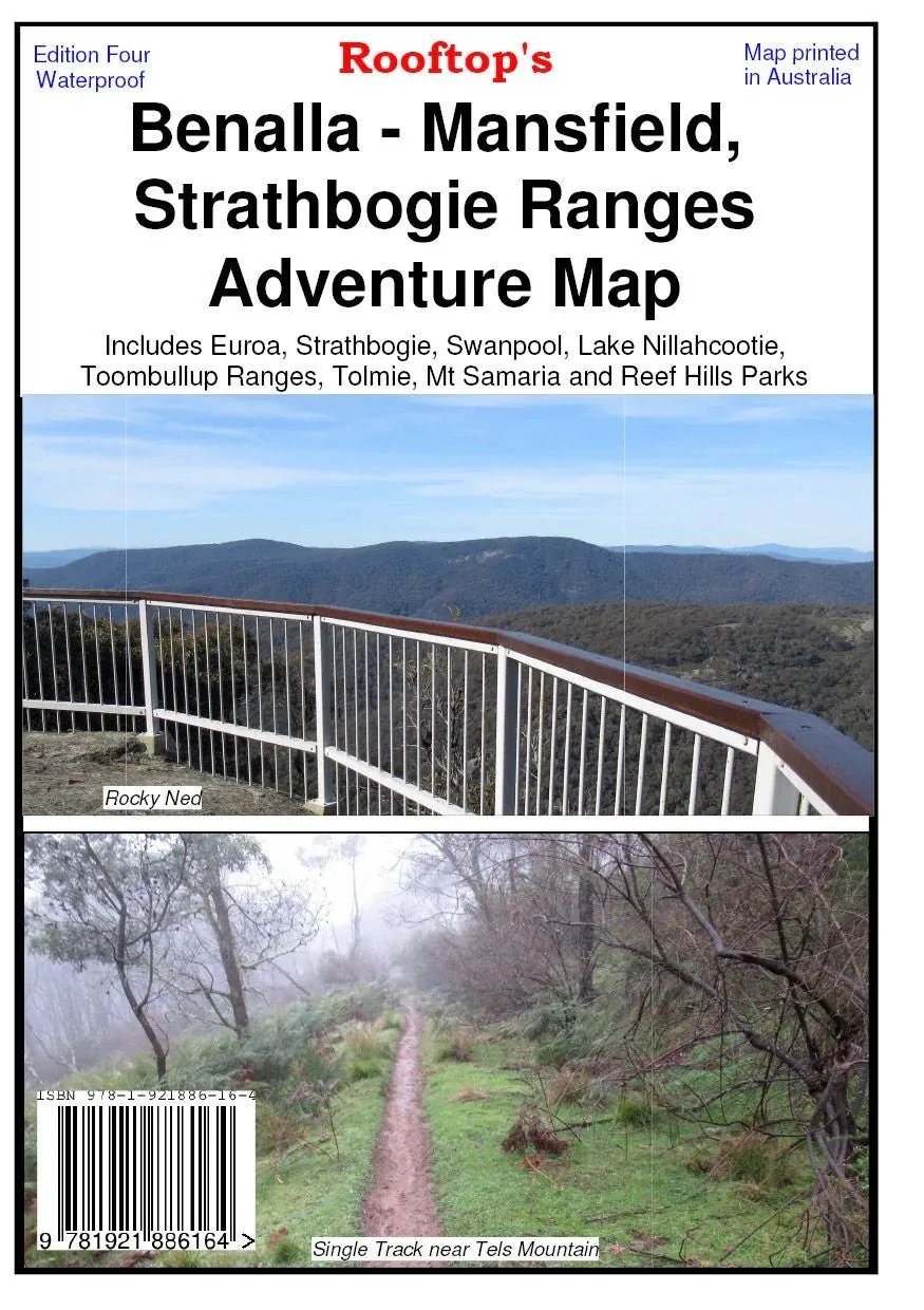
Adventure and Forest Activities Map by Rooftop Maps
Embark on your next outdoor adventure with the Adventure and Forest Activities Map by Rooftop Maps. This double-sided map is designed to cater to explorers of all kinds, from campers to hikers and 4WD enthusiasts. Fully updated and printed on durable waterproof paper, this 4th edition is your trusted companion for discovering Victoria’s stunning natural landscapes.
Adventure Map Side: Featuring a 1:100,000 scale with no contours, this side includes the popular camping areas along the Goulburn River near Murchison and now covers most of the Winton Wetlands Forest Activities, making it perfect for outdoor enthusiasts seeking easy-to-read and detailed information.
Forest Activities Side: Showcasing a 1:50,000 scale with 20-metre contours and large text, this side provides a comprehensive view of the Strathbogie Ranges in one continuous map for the first time. It also covers over half of Mt Samaria State Park, ensuring precise navigation for all your forest adventures.
Features
- Double-sided map for comprehensive coverage
- Adventure Map (1:100,000 scale, no contours) featuring Goulburn River camping areas and Winton Wetlands
- Forest Activities Map (1:50,000 scale, 20m contours, large text) covering Strathbogie Ranges and Mt Samaria State Park
- Robust waterproof paper for outdoor durability
- Updated 4th edition with the latest information
Specifications
- Edition: 4th
- Scale: 1:100,000 (Adventure Map), 1:50,000 (Forest Activities Map)
- Contours: 20m (Forest Activities side only)
- Material: Waterproof paper
Trusted by outdoor adventurers, Rooftop Maps deliver unparalleled accuracy and detail, ensuring your journeys are safe, enjoyable, and memorable. Whether you're exploring the Winton Wetlands, camping by the Goulburn River, or navigating the Strathbogie Ranges, this map is an essential tool for your travels.


